
Page 5 - Demo
P. 5
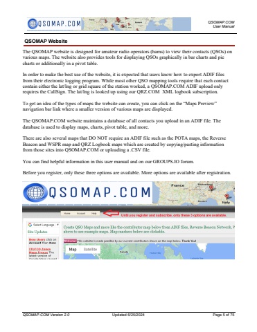
QSOMAP.COM User ManualQSOMAP.COM Version 2.0 Updated 6/25/2024 Page 5 of 75QSOMAP WebsiteThe QSOMAP website is designed for amateur radio operators (hams) to view their contacts (QSOs) on various maps. The website also provides tools for displaying QSOs graphically in bar charts and pie charts or additionally in a pivot table.In order to make the best use of the website, it is expected that users know how to export ADIF files from their electronic logging program. While most other QSO mapping tools require that each contact contain either the lat/lng or grid square of the station worked, a QSOMAP.COM ADIF upload only requires the CallSign. The lat/lng is looked up using our QRZ.COM XML logbook subscription. To get an idea of the types of maps the website can create, you can click on the %u201cMaps Preview%u201d navigation bar link where a smaller version of various maps are displayed.The QSOMAP.COM website maintains a database of all contacts you upload in an ADIF file. The database is used to display maps, charts, pivot table, and more.There are also several maps that DO NOT require an ADIF file such as the POTA maps, the Reverse Beacon and WSPR map and QRZ Logbook maps which are created by copying/pasting information from those sites into QSOMAP.COM or uploading a .CSV file.You can find helpful information in this user manual and on our GROUPS.IO forum.Before you register, only these three options are available. More options are available after registration.
